Walking the Moray Coast Trail
The Moray Coast Trail is a 74km long distance trail in Scotland that follows the stunning Moray coast. I walked the route over roughly 4 days, as a follow-on from the Dava Way. I’ve walked a number of long distance ways in Scotland, including the Speyside Way and was keen to try the Dava and Moray Coast Trail. I walked it solo and wild camped each night.
Day 1 #
Forres to Burghead (~13 miles)
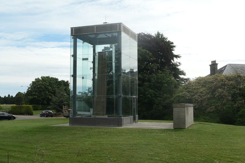
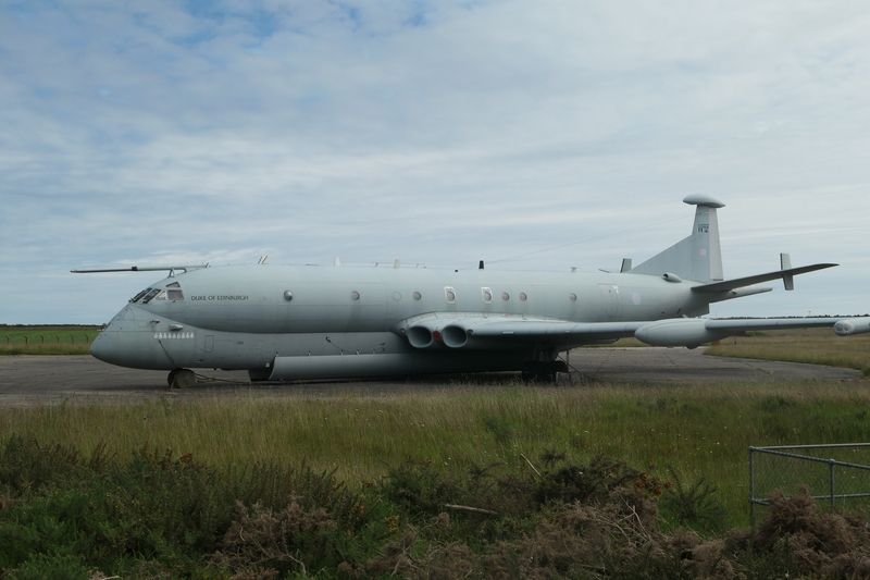
I had stayed in a B&B, having arrived in Forres via the Dava Way the day before. I decided to deviate from the official route for the start, as I wanted to see Sueno’s Stone. I walked through Grant Park and passed the “Witches Stone” on the way. This spot marks one incident of a gruesome practice where women accused of being witches were put in stake-covered barrels and rolled down the hill. The barrels were then set on fire where they came to rest. Sueno's Stone was massive and the information board gave some really interesting background on it. It was well worth the detour, so I’d recommend doing that. After that, I was along the pavement beside the road for quite a while. It was quite dull, though the weather was nice at least. The sun was out and I was just in shorts and a t-shirt. I joined back up with the official route and walked past the military base with its old hangers and airstrip. I even saw a rather fancy looking jet with "The Duke of Edinburgh" written on the side. I stopped for a sit at the flatland on the opposite side of the road, which is meant to be good for bird watching. It was perfect weather and I enjoyed soaking up the sun after a drizzly couple of days.
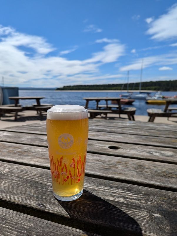
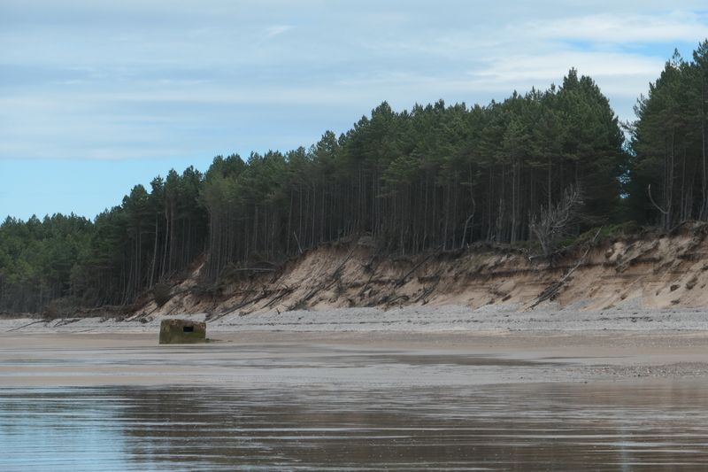
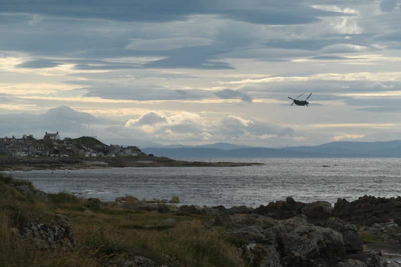
Soon I headed on into Findhorn. The road in was very cute, with moored boats on one side and wee houses facing out towards the water on the other. I stopped to take some pictures and got chatting to a woman who was about to go wild swimming. She was trying to convince me to go in too! The inn wasn't open yet, so I kept on to The Captains Table to grab some early lunch. I ordered fish + chips and sat outside with a pint of Black Isle Blonde. My pint was glistening in the sun. There were quite a few people sat around me, so it was a nice atmosphere. My fish and chips were delicious and everyone looked pretty envious when it arrived! I treated myself to another half pint and then walked around the headland. I could see the tide was going out and the beach stretched all the way round to Burghead. I ended up walking the entire beach barefoot! It was nice to have my feet wet for different reasons than yesterday. It was a long walk, and the sun was out for the first wee bit before it got cloudy and very windy. There were tank blocks all along the beach, and old bunkers every 500m or so, and I stopped on one of them to read my book. I saw quite a lot of aircraft from RAF Lossiemouth, which was the case for every day I walked, including a chinook that flew directly over me while I was walking along the beach.
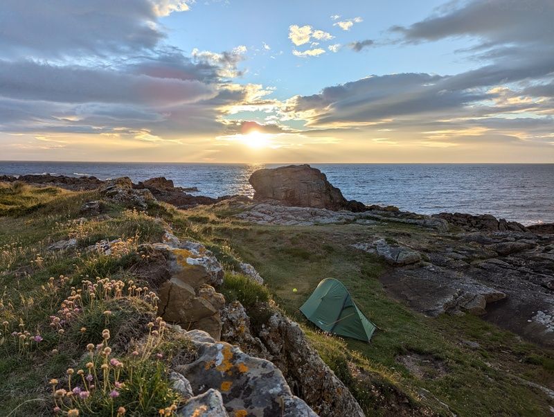
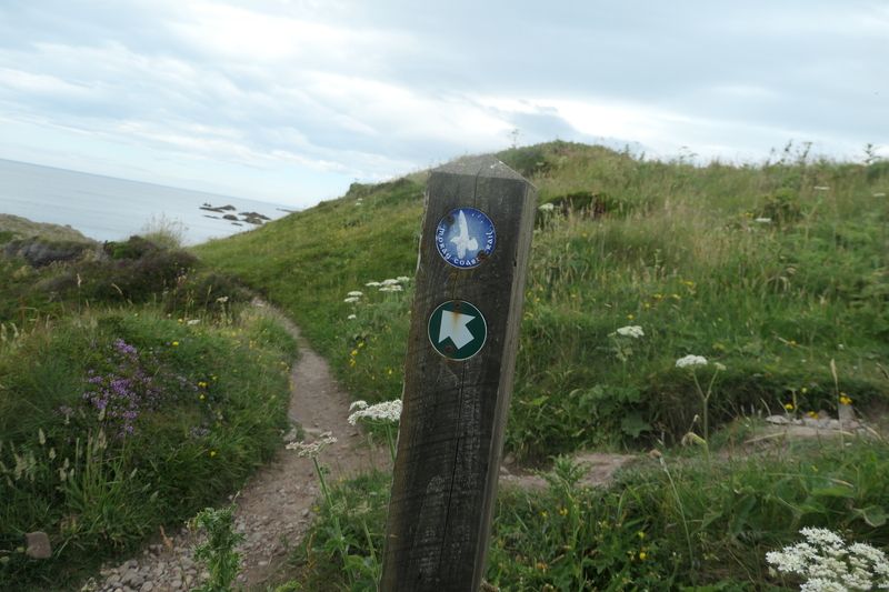
By the time I reached the edge of Burghead, I'd had enough of the barefoot beach walking. My feet were getting cold and tired of the hard sand. I put my boots on and joined back up with the actual Moray Coast Trail. This was the first time I'd actually seen a sign for it! I wandered into Burghead and took some pictures of its narrow roads and wee houses. I saw a couple of the sights including the old Pictish fort and well. I headed round out of town and on my way out spotted a brilliant wee camping spot. It was a bit earlier than I planned to stop, but the spot was too perfect to pass up. I pitched my tent and realised the wind was pretty bad, but it was still a great location. I went for a wander back into the town, hoping to find somewhere to watch the Scotland vs Switzerland game but the hotel seemed to be totally closed and up for sale. The wind had picked up and I watched some kite surfers for a bit before heading back to my tent. The wind eventually died down and the sun came out. I got a brilliant sunset and even saw a seal poke its head out the water in the bay.
Day 2 #
Burghead to Kingston on Spey (~15 miles)
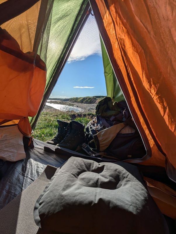
I woke up about 7:30 and opened the door of the tent to an unbelievable view and the sun in a clear blue sky. I packed up the tent, though I was sort of wanting to just stay put. I set off on the old railway line, bringing back memories of the Dava. I was able to keep looking back down the coast and see the big malting plant in Burghead. I passed through Cummingston and then wandered on to Hopeman. I stopped at the shop to pick up some water and then wandered through the town. It seemed to have a bit more going on than Burghead. I reached the East Beach and the water looked so tempting for a dip. It was a perfect wee sandy beach and there was no-one around, so after some swithering I waded in. It was freezing and a bit of a shock, but felt amazing. It was a very quick dip, but once I was back out the feeling of being icy cold with the hot sun on me was so refreshing.
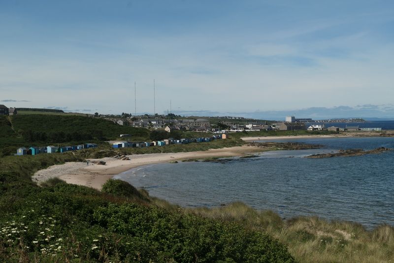
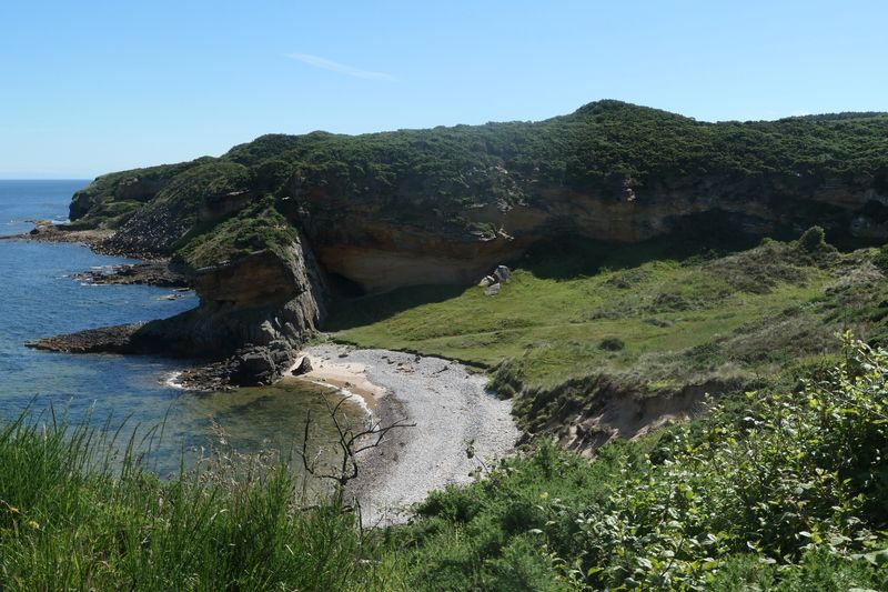
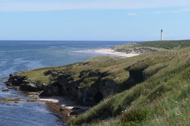
I set off again and enjoyed the next wee stretch of coast. With all the little beaches and bays it felt a bit like the Berwickshire Coastal Path, which I did a few years ago. I passed Clashach Cove which was very picturesque and would be a great spot to camp at. I continued plodding along, with the path and the views varying quite a bit. I reached the coastguard tower just before Covesea and stopped for a break on the bench looking out to sea. The walk from there to Covesea lighthouse was very scenic, but I was getting hungry and could see that Lossiemouth was still a way along the coast. I munched a snack bar and then ploughed on along the beach. I got into Lossiemouth and the first place I saw was the Beach Hut which had a lovely little outdoor seating area. I got some food, read my book in the sun, and filled up my water. I crossed the modern bridge from Lossiemouth's cute wee centre and started along the beach. The sun was beaming and I realised I'd been walking in the sun all day without any suncream and was feeling very burnt! I decided to divert off to a shaded sand dune to cool down a bit.
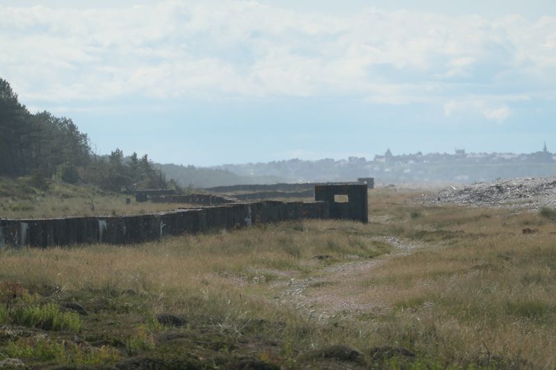
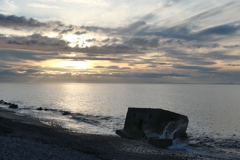
Once I felt a bit better I continued on, but with my hoodie on to cover my neck. This section was pretty dull and on top of the day before’s beach walk from Findhorn, I was getting bored of beach walking. Having the same view for multiple hours and being able to see your destination along the coast makes it quite tiring. However I soon crossed onto the other side of the stone dunes and onto the bumpy stone path there, and found this even worse. This path felt like it went on for ages and the tank blocks lining it went way off into the distance to remind you of how far you’d come, and how much farther you had to go. The sun was baking me and there was nowhere to hide from it. There were a couple of impressive artillery placements, but once I passed them I quickly got bored. Though I think I spotted an osprey, which a few people had told me to look out for. I kept trudging on and eventually hit the start of Kingston on Spey. I decided to camp on a bit of grass behind the beach, a short distance from the carpark. I was keeping an eye out for dolphins, as I’d heard there was a group of them in Spey Bay, which was just nearby. I didn’t see any, but did see another seal in the water. I sat and read my book on the rocky beach for a bit and got another brilliant sunset over the water.
Day 3 #
Kingston on Spey to Portknockie (~14 miles)
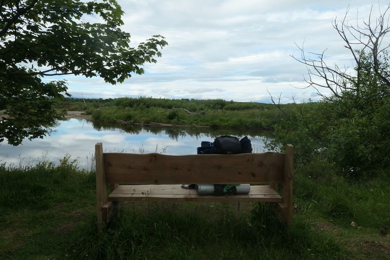
I woke up and it was humid but a bit cloudy. I headed through Kingston towards Spey Bay. The route was nice though the trail was really overgrown at one point. Then, I was onto a good cycle path which crossed the Spey on a cool old railway bridge. The Spey was so wide and seemed very high. Just after I crossed, I saw a grouse close up just below the path. I was now on the Speyside Way until Buckie. This was a section I’d walked before, though in the opposite direction. I continued on a wee bit and then found a lovely bench in front of the river. I stopped and read my book there while I waited for the cafe at the Dolphin Centre at Spey Bay to open. I got chatting to a friendly English couple who were touring the country in their campervan. They said their son used to be in the RAF and stationed at Lossiemouth. They were saying that 60% of military stationed at Lossiemouth retire nearby, which doesn’t surprise me as it’s a beautiful area. The Dolphin Centre was now open so I headed there for breakfast roll, coffee and a water top up.
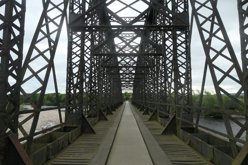
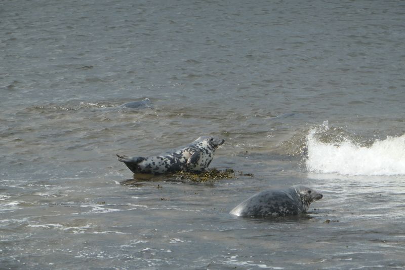
The next section was a secluded stretch of woods along the golf course that soon brought me to Portgordon. I had a break on the seawall and read my book. I spotted some wee ducklings in the harbour as I walked through it. Just after Portgordon, I saw a bunch of seals up close. They were playing on some rocks just off the shore and making lots of noise! It was amazing to see them so clearly. Soon I came into Buckie and headed into the centre for a sugar boost of cake and irn bru. From there, the route heads through the shipyards, which are still active and offer some interesting views. I came into Portessie, which was cute, and the walk along the shore there was a welcome change from the pavement I’d been on. I passed the remains of the outdoor swimming pool and what looked like a memorial to people lost at sea. I also saw some more seals off the shore. The walk here was lovely. It snaked around the cliffs, hugging the golf course. Findochty came into view and was also very picturesque. I walked through, admiring the boats in the harbour and the wee uniform streets. I stopped on the beach and just enjoyed the sights and sounds of the ocean for a bit. I got chatting to a man who said he was born in Leith (where I currently live) and had moved to Findochty over 40 years ago. I just had a short stint along the clifftop cycle path from there to reach Portknockie.
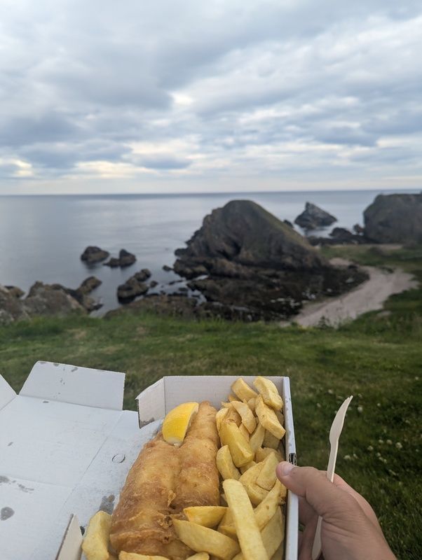
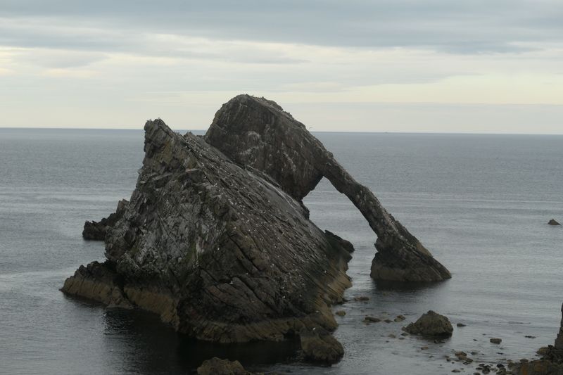
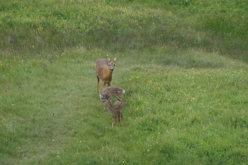
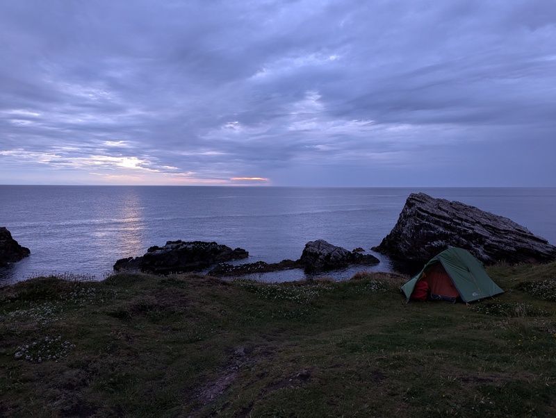
I wandered around the edge of the town, which is very scenic and surrounded on almost all sides by amazing cliffs. I eyed up some potential camping spots and then headed to the chippy, which I had called ahead to make an order for. I took my fish supper back to a bench at the bay and scranned it. Just as I was getting ready to head, I heard some people talking about something at sea. I looked up and saw a pod of dolphins crossing just outside the bay! How lucky! I enjoyed the moment and then headed round to see Bow Fiddle rock. It was pretty spectacular and I eyed up some more camping spots there. As I was scoping one out, I stumbled upon a deer with two wee fawns. Another amazing moment! I watched them for a bit and snapped some photos before heading to the pub. I watched the Netherlands vs France game there and enjoyed the chat from the auld boys sitting at the bar. It started raining just as I headed in, so I waited for that to blow over before heading back out. I camped on a grassy outcrop pretty close to Bow Fiddle rock. It was a bit too close, and the screeching of the gulls made it hard to sleep, but it was a very scenic wee spot.
Day 4 #
Portknockie to Cullen (~2 miles)
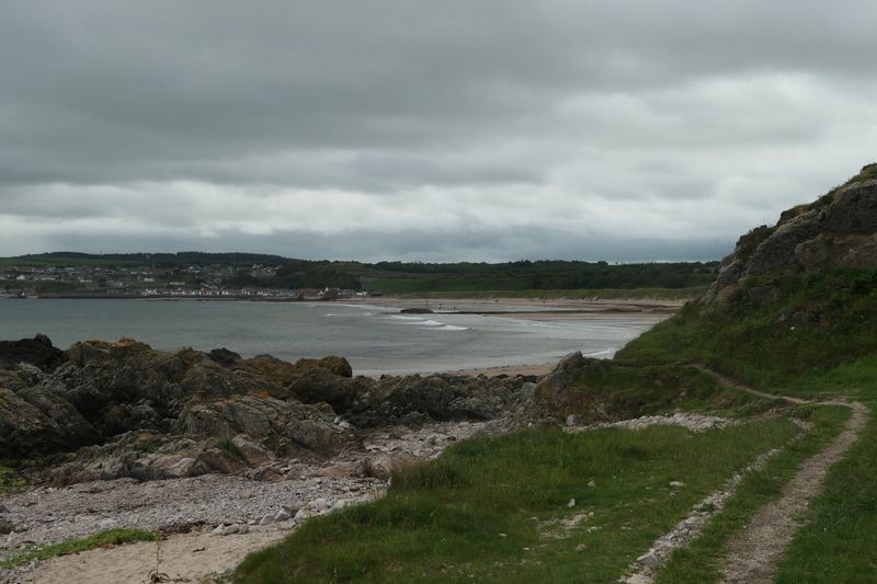
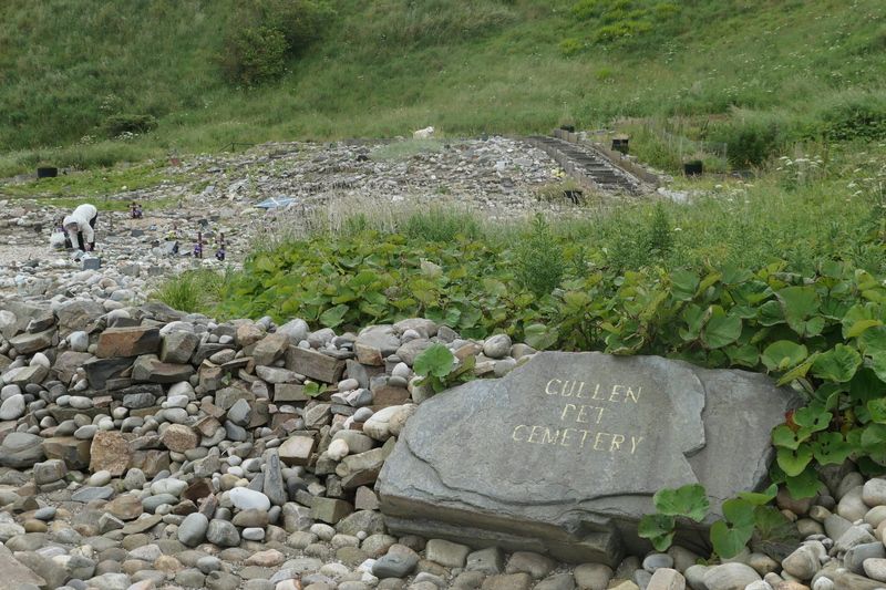
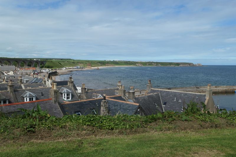
I woke up and it was pretty sunny. I packed up the tent for the last time and started the short walk round to Cullen. The trail went along some cliffs and I stopped to just look out for a bit and enjoy the sea. At these sort of cliffs with a clear sky, it does really feel like you're at the edge of the world. I headed on down past the rock formation known as Whale's Mouth, and Jenny's Well. I spotted a heron as I came onto the beach and there were quite a few people out on morning walks. I headed into Cullen and tried to find the "end" of the trail. As far as I can tell, the Moray Coast Trail is one of those ones that just fizzles out with no proper endpoint. Or maybe I just missed it… I still had a bit of time before the cafe opened, so I decided to wander to the pet cemetery. I hadn’t expected much from it, but it was surprisingly moving. It had been started after a retired street sweeper had been asked by a friend to bury their dog, and had grown from there over 27 years! Apparently it was quite important for some locals as they didn't have a garden to bury their pets in, and is the final resting place of a fox, dolphin and shark! I headed round to the Rockpool Cafe for it opening and treated myself to a full fry. The cafe was very cosy and the food was delicious. I left in time to catch the 10:45 bus to Aberdeen, but midway through queueing for it I decided to wait for the next one and read my book above the harbour for a bit. I was really glad I did. It was great weather and there were a few people sitting painting. I got the next bus at 11:45 and it was heaving! Everyone was headed to Portsoy for their annual boat festival, which a few people had suggested I should stay for. After reaching Aberdeen, I got the train back home to Edinburgh.
Thoughts #
Overall I really enjoyed the Moray Coast Trail. It felt like an extended Berwickshire Coastal Path, which is one of my favourite long distance ways. The towns it goes through are so cute and the people I met were very friendly and welcoming. I was incredibly lucky with the weather. I imagine it wouldn't be quite so nice if it was foggy and rainy. Some of the beach walking was a bit of a slog, so doing it with someone else would probably make those stretches less boring. I’d definitely recommend this route to others, especially if you’ve got an interest in WW2 or aircraft!
- Previous: Walking the Dava Way