Walking the Dava Way
The Dava Way is a 38km long distance trail in Scotland that follows the old Highland Railway line. I walked the Dava Way over 2 days and continued on to the Moray Coast Trail afterwards. I’ve walked a number of long distance ways in Scotland, including the Speyside Way and was keen to try the Dava and Moray Coast Trail. I walked it solo and wild camped most nights. I wild camped the first night and spent the second night in a B&B in Forres.
Day 1 #
Grantown on Spey to Edinkillie (~15 miles)
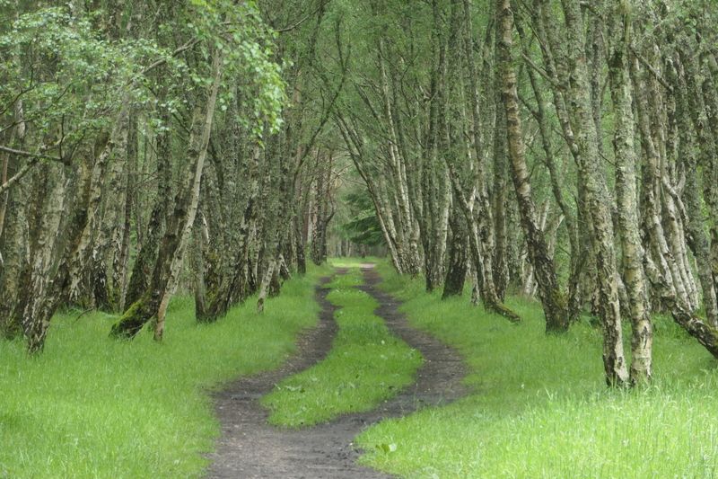
My dad came with me to walk the first section, so we drove up to Grantown-on-Spey from Edinburgh together. We got some lunch from the only place open on a Monday afternoon (the American-style diner) before setting off. The weather wasn’t great with grey skies and pretty constant rain, and the forecast suggested it was going to stay that way for most of my walk. After walking along roads to leave Grantown, we got onto the old railway line. There’s a board here that details the route of the Dava and marks some points of interest along the trail. The path on this first section was narrow and cut right through the rockface at some points. We heard a few birds and passed a couple of highland coos, but there wasn't a huge amount to see. We came to a beautiful old "halt" with an information board. There’s around 18 of these information boards throughout the Dava. They’re really informative and add to what might otherwise be a bit of a boring walk. We carried on through a couple of wooded sections which I think have recently been improved. The rain was on and off constantly. It wasn't heavy, but it was the kind of weak drizzle that still soaks you. The picturesque woods turned into soggy sheep fields and my dad left me to continue on my own from this point. I watched him disappearing along the straight railway path.
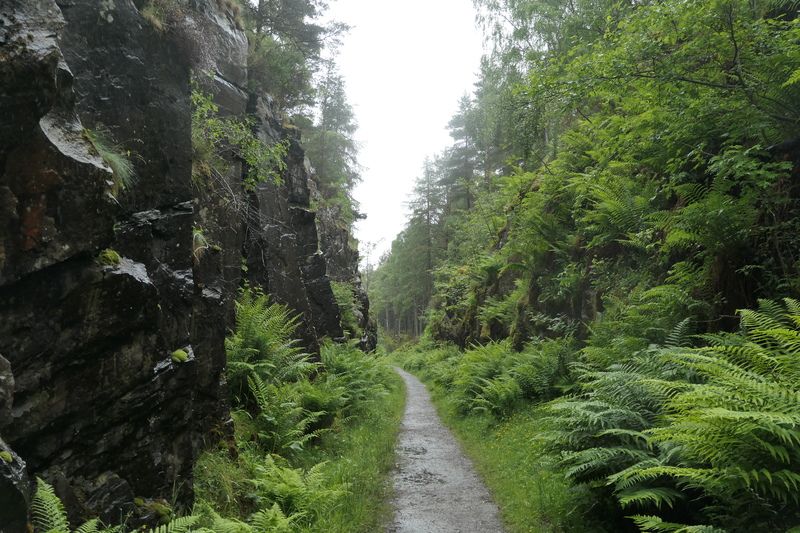
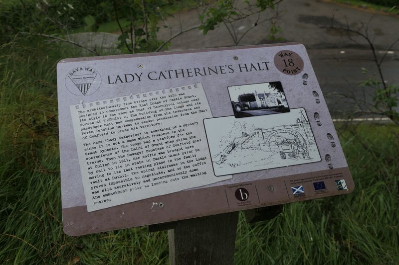
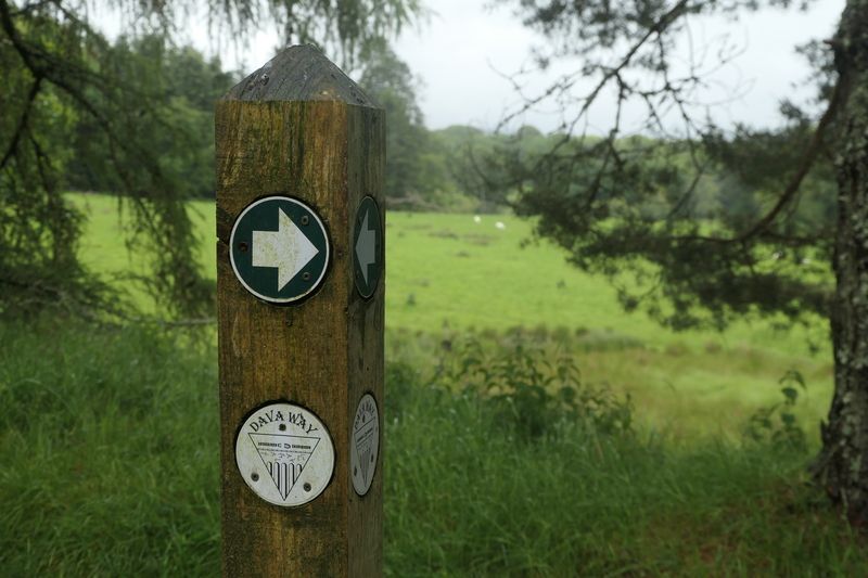
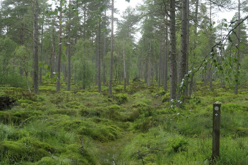
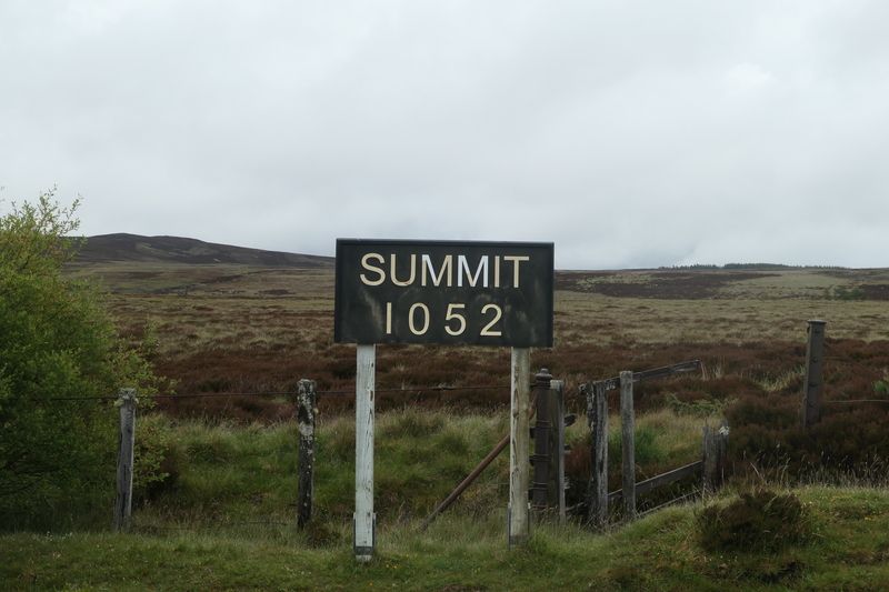
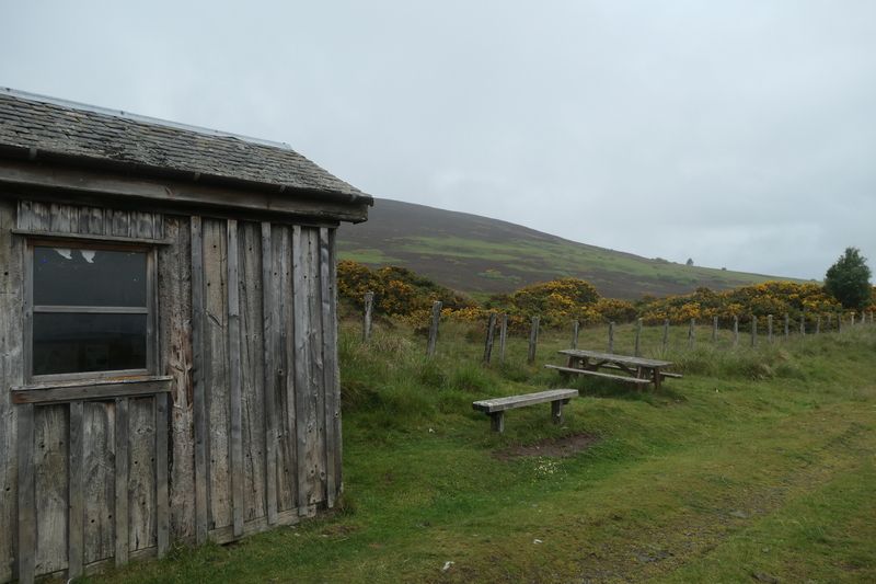
About 10 minutes walk from where he left, the path came onto Dava Moor. It was pretty spectacular and felt very remote. The weather had improved as well. The rain had stopped, and it was noticeably warmer but with a gentle breeze. Before long I had reached the summit sign. Again, there’s some information boards here and it was cool to think that trains used to pass along this same route I was walking. I stopped for a break on an old stone bridge and munched a mars bar. I kept on going, enjoying the peaceful silence of the moor. I had been expecting to see the statue of a redcoat soldier before the summit sign, but the walk report must have been wrong as I came across it later. Soon I reached the old station at Dava, now somebody's house. I knew that I rounded the Knock of Braemoray soon, and that there was a wee shelter there called the Halfway Hut. I planned to eat the sandwich I’d bought in Grantown there and take a wee break. As I started rounding the Knock, I startled a deer and watched it bound off. I was being serenaded by some curlews as well. I could see rain up ahead coming towards me, and it hit just as I was reaching the hut. There were two American cyclists there who said there was lots of forest ahead to camp in. I sat in the hut and looked at the old pictures and information while I munched my sandwich. Since it was still raining, I sat and read my book for a bit.
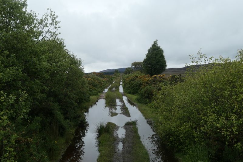
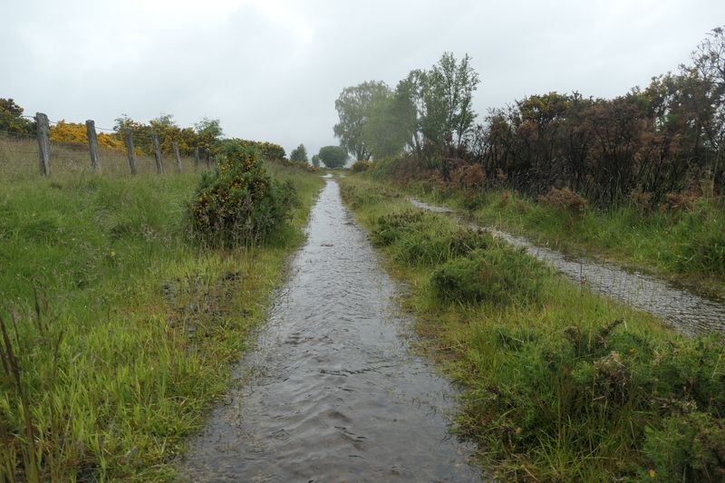
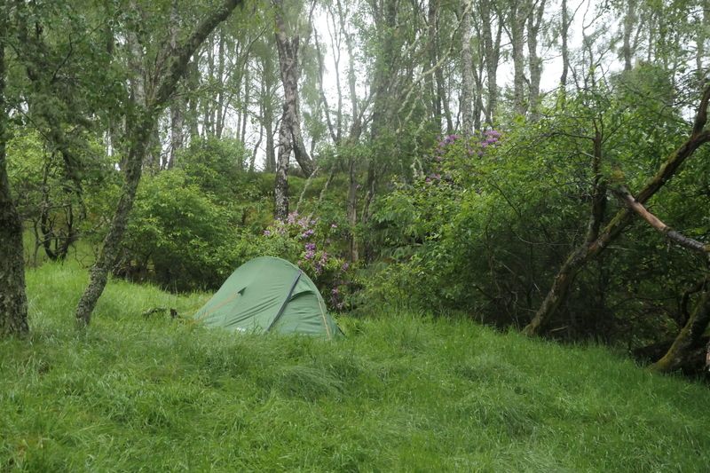
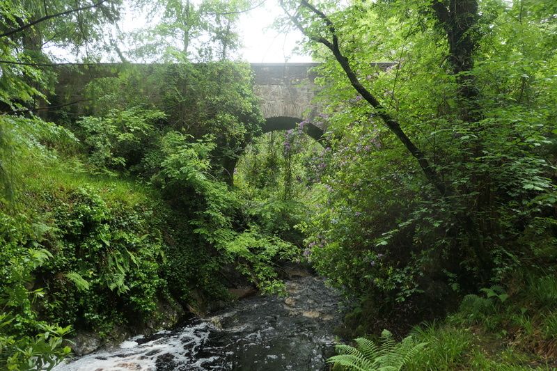
I set off again once the rain stopped. It was a bit chilly and the path was very waterlogged. This seems to be a bit of a theme for the Dava, as the volunteer group point out on all the information boards! It was a lot greener on this section since I'd left the moorland. I saw a little grouse on the trail ahead of me at one point. I passed Bogeney while the rain continued, but saw no sign of its supposed ghost train! I reached the forest just before Divie Viaduct and scouted out some potential camping spots. I decided to keep going and come back if I didn't find something better. I chatted to a woman with two lovely dogs as I crossed the viaduct. She offered me a lift to Forres when I said I would be camping in the rain, but that would be cheating. She pointed out a camping spot on the right of the path further up. I explored the spot and found a decent enough pitch for the tent. I threw on midge repellant and got the tent up. There were loads of midges but the Smidge worked a treat. I got my stuff sorted and then squeezed inside my wee one-man tent.
Day 2 #
Edinkillie to Forres (~9 miles)
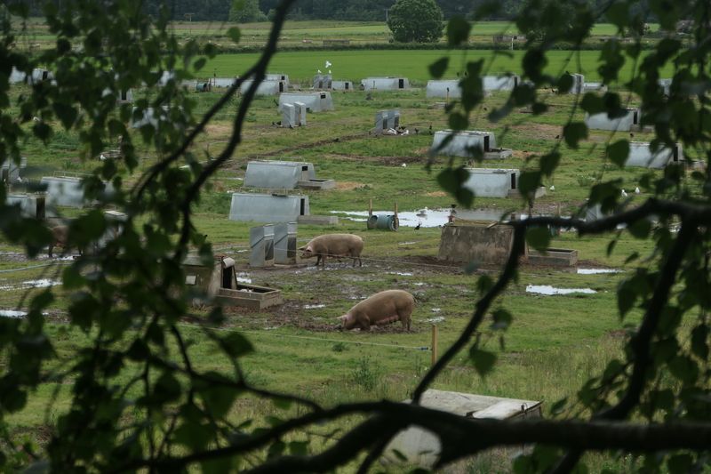
I got a decent enough sleep, though in my rush to get the tent up in the rain and midges, I hadn’t done a great job of setting it up so it was pretty cramped. I got more midge repellant on and then got up and got packed. It wasn't raining at least! My boots were soaked though so my socks were drenched within minutes. I set off along the trail and came to the Dunphail Breathing Space. It actually might have been an alright spot to camp, as it had a little shelter that I probably could have used. I wandered round to the Edinkillie community centre to see the Iron Giant statue and then continued along the waterlogged path of the Dava. I had planned to detour to Logie Steading to get some hot food, but almost missed the turn off for it. The walk there took me along a bit of a dodgy road where I had to keep stepping aside for cars, but soon I made it to the big tree-lined drive of Logie Steading. I headed into the cafe and ordered the sweet potato soup and a coffee. The soup was delicious and I was very glad I’d made the detour. After a bit of a break, I headed back along the dodgy road (uphill this time) and onto the Dava. It was still very wet underfoot. I crossed the famous footbridge over the Altyre Burn and when I reached Scurrypool bridge, I stopped and read my book for a bit. I chatted to a man who was walking his dog along the trail and then set off to do the last stint into Forres. I passed through some forest and then right alongside a pig farm. They were huge! I stopped at the Dallas Dhu distillery for a final quick break. From what I could see this is now totally closed, though there are some picnic benches on the site that are close to the trail. I soon reached Forres and went to get some snacks from the Co-op before heading to my B&B at Robinhill Gardens. It was nice enough, though it felt a bit empty and eerie. I was just keen for a shower and a proper bed though. I headed out to the Mosset Tavern for a burger and sat in their bar area which had a nice atmosphere. The next day I continued on to do the Moray Coast Trail, which you can read about here.
Thoughts #
Overall I enjoyed the Dava Way. It gave a wee taste of that remote feel you get from walks like the West Highland Way or Rob Roy Way, and was also really interesting and informative. The information boards as part of the trail was a great touch and kept me engaged. It's also impressive that it's solely maintained by volunteers. However, the weather I got wasn't great and the trail was very wet underfoot. I don't think I'd recommend doing it on its own just for the sake of it, but if you’re doing the Speyside Way or Moray Coast Trail then it’s worth sticking on an extra day or so to do it. Or, if you’re visiting Forres or Grantown then I think it’s worth it as a day hike.